Don’t hesitate to contact us:
Forum: discuss.graphhopper.com
Email: support@graphhopper.com

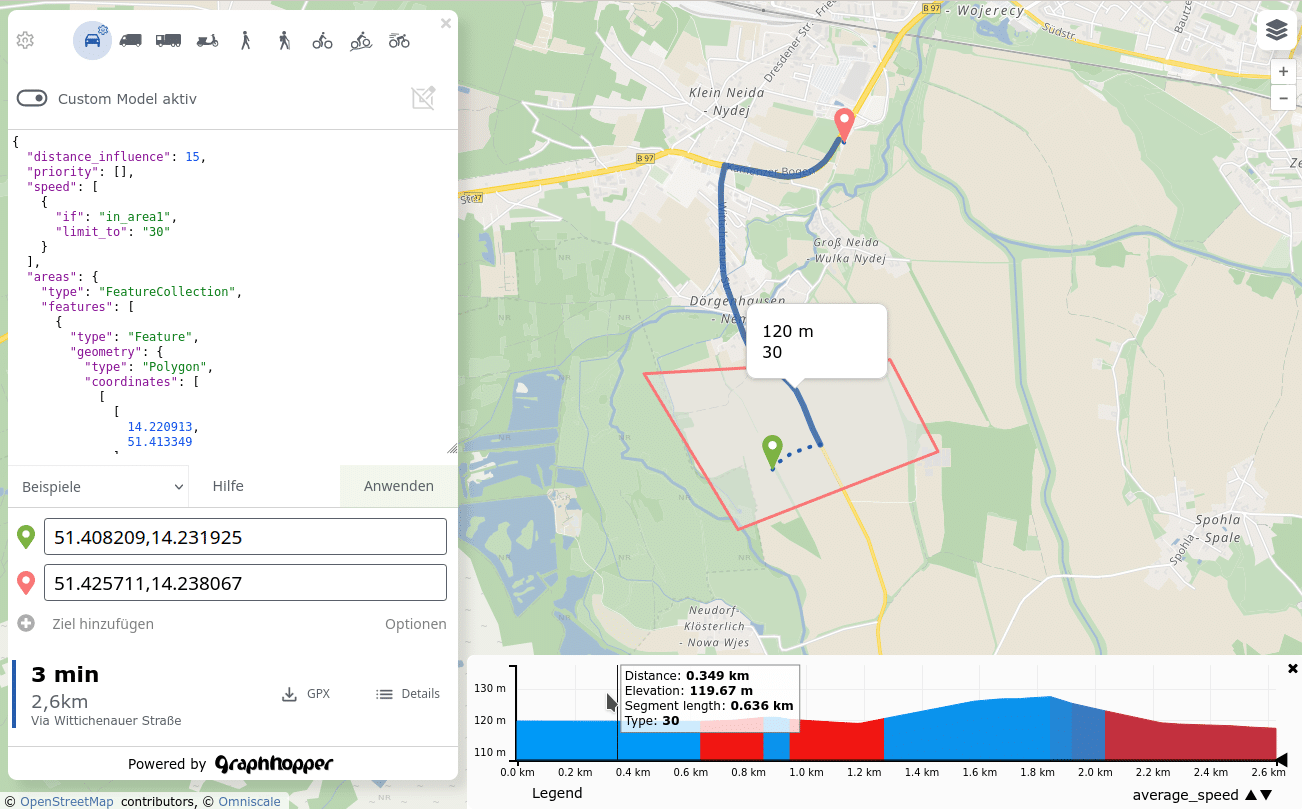
Route Hints In the past GraphHoper Maps showed obstacles or special cases on the route, but it wasn’t easy to find out where exactly you’ll face them and for how long. These “obstacles” could be steps for a bicycle route or a ferry or if you need to cross borders and so on. Now we […]

Recently we added some new path details: leg_time and leg_distance. This makes it easier to get the time, distance and the geometry per “leg”. A “leg” is a specific part of the route. See the example below and the first leg is from Schwarzkollm (start) to Bröthen (via point) and the second leg is from […]
We’re proud to announce that we’ve once again become a Gold Corporate Member of the OpenStreetMap Foundation! OpenStreetMap is a global, open-source mapping project that allows anyone to contribute and use free geographic data. As a Gold Corporate Member, we’re supporting their mission to create a free and open map of the world. We believe […]

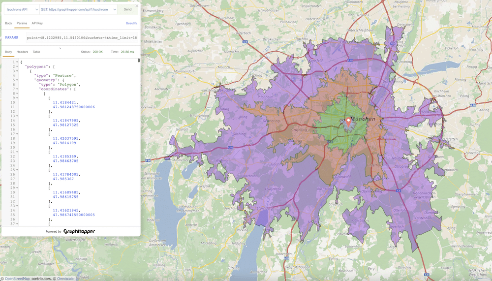
Here is a little preview of our latest development, our API Explorer. It’s not just an ordinary tool to examine API requests & responses in a JSON editor. Our API Explorer comes with a unique feature that will make your development process a lot more fun: a map at the center of it all! With […]

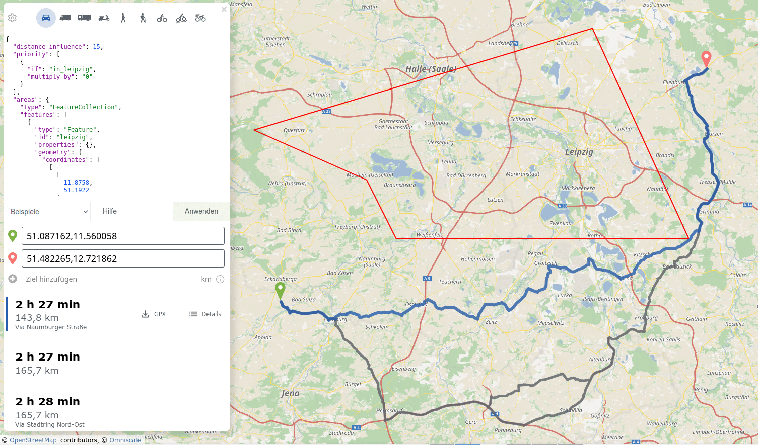
We have released the next version of GraphHopper, the flexible and fast open source routing engine for OpenStreetMap. Read more about it on GitHub and read on to find out what’s new. When you start the new GraphHopper Routing Engine, you will be greeted by the new GraphHopper Maps. We have blogged about it earlier […]

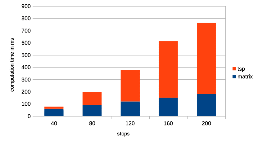
We are constantly working to improve our software to better serve our customers. We solve millions of vehicle routing problems every day. Over 90% of these problems are actually variations of the famous traveling salesman problem, which requires finding the shortest possible route that visits all the locations exactly once. As we see these problems […]